Learn More
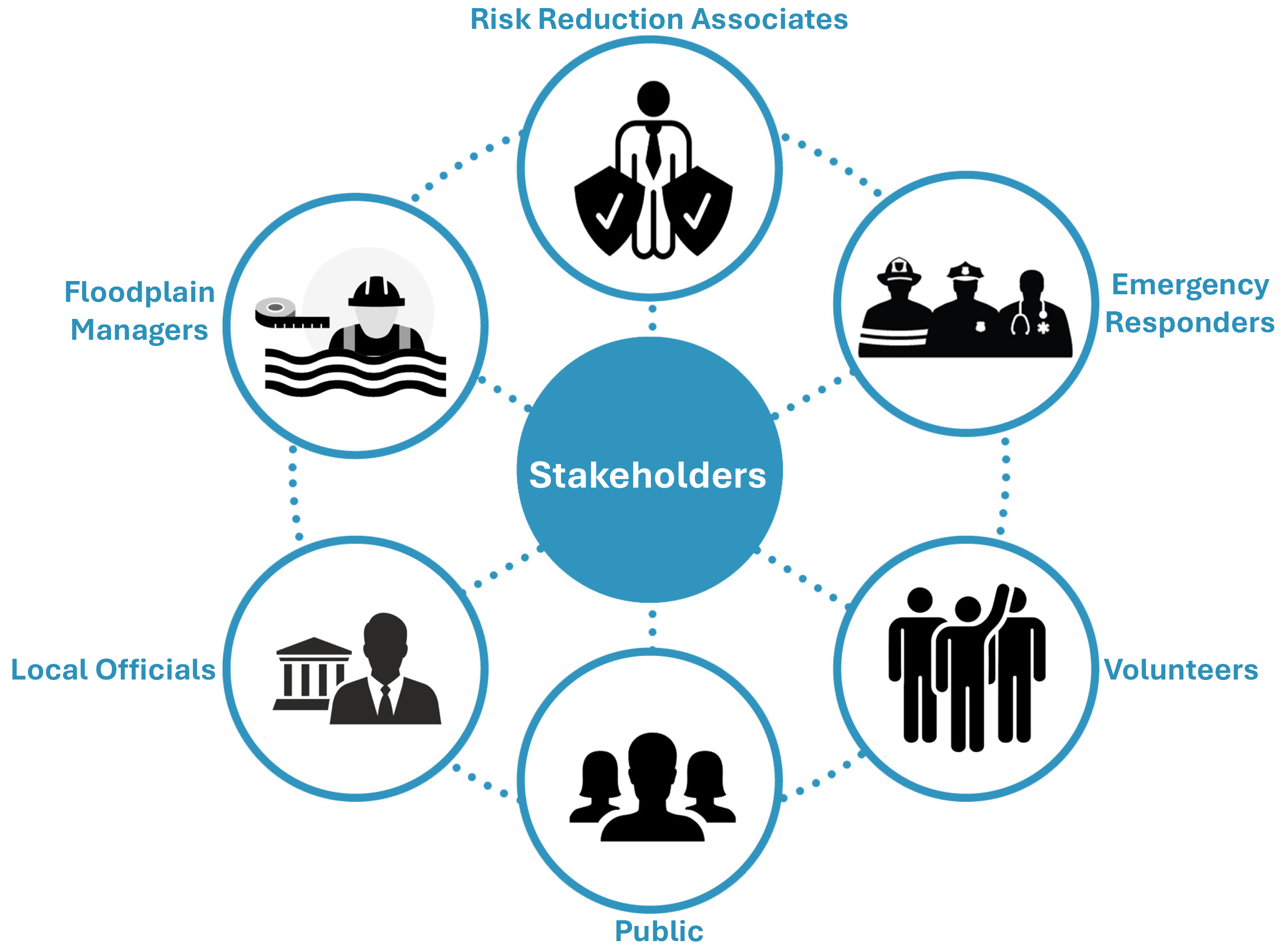
The West Virginia Risk Explorer (WVRE) is a set of tools designed to help communities in West Virginia better understand, assess, visualize, and manage their flood risks. It assists in evaluating the effectiveness of flood mitigation strategies and empowers communities to make informed decisions about these strategies. The WVRE was developed as part of the broader West Virginia Flood Resiliency Framework (WVFRF) to provide stakeholder groups and flood-prone communities with more effective resources for planning, preparedness, and response.
The following materials provide a deeper understanding of the tools, analyzed risk indicators, and the methodology used for risk assessment and index development.
| WV Risk Explorer | |
|---|---|
| Localized risk assessment tools for analysis and visualization | |
| << OVERVIEW >> | |
| Website WEB | WVRE Website (https://www.wvfrf.org/wvre) Home |
| Flyer PDF | WVRE Overview |
| Video 1 MP4 | WVRE 2-Minute Video |
| Video 2 MP4 | WVRE 20-Minute Video |
| HMP Guide PDF | WVRE Resources for Hazard Mitigation Planning (HMP) (in update) |
| << RISK FACTORS >> | |
| Technical Guide PDF | WVRE Technical Documentation (includes Description, Rationale & Recommendations of Risk Indicators) |
| Diagram PDF | WVRE Riverine Flood Risk Factors |
| Data Dictionary PDF | WVRE Data Dictionary (Metadata) of Risk Indictors |
| Risk Factor Resources PDF | Resource Index to Static Map Graphics of each flood risk factor; Reports/Slides published for certain risk indicators |
| Download Risk Data WEB | WVRE Data Download of Risk Indicators |
| Risk Assessments | |
|---|---|
| Riverine Flood Risk Studies and Rankings | |
| << STATEWIDE ASSESSMENTS >> | |
| Risk Findings Report PDF | Riverine Flood Risk Findings for West Virginia (in development) |
| WV Flood Risk Stats WEB | Statewide Online Flood Risk Report & Graphics |
| WV Risk Assessment Poster PDF | Statewide Flood Risk Assessment Statistics |
| Fast Facts PDF | 30 Fast Facts about Riverine Flooding in West Virginia |
| << LOCAL ASSESSMENTS >> | |
| Local Risk Studies HL | Local Risk Study Reports accessible via WV Hazard Library |
| Building: Marlinton WEB | Example WV Flood Tool displaying building-level risk for Marlinton |
| Community: Marlinton | |
| • All Risk Indicators WEB | Flood risk reports at higher aggregate scales of community, county, and region. Example All Risk Indicators Report for town of Marlinton. |
| • Top 20% Indicators WEB | Example Top 20% Risk Indicators Report for Marlinton |
| • Risk Comparison WEB | Example Risk Comparison Report of Marlinton to other municipalities |
| County: Pocahontas WEB | Example County Report with community sub entity rankings |
| Region: PDC 4 WEB | Example Regional Report with county-community sub entity rankings |
| << TOP RANKINGS >> | |
| Top 10% Summary PDF | Top 10% Cumulative Rankings of 7 Geographic Scales |
| Top 20% Summary PDF | Top 20% Cumulative Rankings for 7 Geographic Scales |
| Top 6 Entity Rankings PDF | Top 6 Entity Rankings for All Risk Factors at Multiple Scales |
| Top Primary Structures WEB | Top Primary Structures with highest FEMA-mapped 1% (100-Yr) flood depths |
| Top Significant Structures WEB | Top Significant Structures (Essential Facilities, Community Assets) with highest flood depths |
| << COMPARATIVE RANKINGS >> | |
| 11 PDC Regions WEB | Comparison Risk Web Report of 11 PDC Regions |
| 55 Counties WEB | Comparison Risk Web Report of 55 Counties |
| 284 Communities WEB | Comparison Risk Web Report of 284 Communities |
| 229 Incorporated Places WEB | Comparison Risk Web Report of 229 Incorporated Places |
| 55 Unincorporated Areas WEB | Comparison Risk Web Report of 55 Unincorporated Areas |
| 33 Watersheds WEB | Comparison Risk Web Report of 33 Watersheds |
| 156 Rivers / Streams WEB | Comparison Risk Web Report of 156 River/Streams |
| Methodology | |
|---|---|
| Learn more about flood risk assessment methodology and floodplain building inventory | |
| Report PDF | WV Flood Risk Assessment Methodology using Detailed Floodplain Building Inventory |
| Table PDF | WV Statewide Flood Risk Model Overview |
| Diagram PDF | Floodplain Building-Level Risk Assessment (BLRA) Update Cycle |
| Diagram PDF | Floodplain Building-Level Risk Assessment (BLRA) Workflow |
| Diagram PDF | 10 Geographic Scales of Analytical & Visualization Tools for Risk Assessments and Mitigation Measures |
| Dashboards | |
|---|---|
| Interactive dashboards to analyze risk factors and mitigation measures | |
| << BUILDING RISK ASSESSMENT >> Building Risk Assessment Dashboards for 6 geographic scales |
|
| 11 PDC Regions WEB | PDC Regions Scale Risk Assessment Dashboard |
| 55 Counties WEB | County Scale Risk Assessment Dashboard |
| 229 Communities WEB | Community Scale Risk Assessment Dashboard |
| 33 Watersheds WEB | Watershed Scale Risk Assessment Dashboard |
| 156 Rivers/Streams WEB | River/Stream Scale Risk Assessment Dashboard |
| Buildings in High-Risk Floodplains WEB | Building Scale Risk Assessment Dashboard |
| << MITIGATION >> Dashboards of Mitigated Structures and Open Space Preservation |
|
| Mitigated Structures WEB | Inventory of Mitigated Structures Dashboard |
| Mitigated Buyouts WEB | Mitigation Open-Space Buyouts & Community-Owned Parcels |
| << FLOOD FATALITIES >> Dashboards of flood fatalities and post-disaster mitigation |
|
| Flood Fatalities by Disaster WEB | 12 Deadliest Flood Disasters from 1870 to 2016, and Post-Disaster Mitigation Measures Implemented |
| Flood Fatalities by County WEB | Flood Fatalities by County including recent flood deaths |
| Flood Visualizations | |
|---|---|
| Communicate flood risk with 3D and 2D visualizations | |
| Flood Visualizations WEB | All Flood Visualizations (3D Movies, Viewsheds, Building Profiles, Story Maps) for effective risk communications |
| • 3D Movies WEB | Community-scale 3D flood movies for a major 1% annual chance (100-year) storm |
| • Viewsheds WEB | Bird's eye view flood visualizations of different storm frequencies and magnitudes |
| • Building Profiles WEB | Building-scale flood visualizations of different storm frequencies and magnitudes |
| • Story Maps WEB | Story maps of major flood events and lessons learned |
| WV Flood Resiliency Framework (WVFRF) | |
|---|---|
| A virtual hub of risk assessment, visualization, planning, and training resources for building community flood resiliency in West Virginia | |
| Website WEB | WVFRF Website (https://www.wvfrf.org) |
| Flyer PDF | WVFRF Flyer |
| Video MP4 | WVFRF Video |
| Slides PDF | WVFRF Elements |
| Hazard Library WEB | WVFRF Hazard Resources |
| • Hazard Plans HL | Search all Hazard Plans |
| • Guidance Documents HL | Search Guidance Documents |
| • Floodplain Mgmt. HL | Search Key Resources for Floodplain Managers |
| • Risk Assessments HL | Search all Flood Risk Assessments |
| • Other Hazards HL | Search Other Hazards |
| • Meeting Events HL | Search all Meeting Events |
| • Web Risk Tools HL | Search Web Risk Tools |
| 298K High-Risk Parcels WEB | 298K Parcels Intersect FEMA's High-Risk (1%) Flood Zones (WV Property Viewer) |
| 48K Moderate-Risk Parcels WEB | 48K Parcels Intersect FEMA's Moderate-Risk (0.2%) Floodplains (WV Property Viewer) |
|
98K Structures • WV Flood Tool WEB • WVRE BL Tool WEB |
98K Primary Structures in High-Risk Floodplains (WV Flood Tool's RiskMAP View or WV Risk Explorer's Primary Structures Building-Level Risk Tool) which provide Hazus building-level risk assessment and flood visualization of each structure. |